
Estonia - Administrative boundaries datasets
Estonia - Administrative boundaries datasets
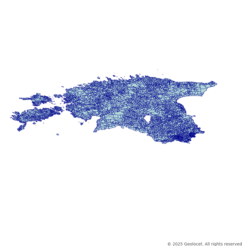
Download the Administrative and Political Boundaries of Estonia
Our diligently crafted dataset is designed to delineate the various administrative boundaries, territorial divisions, and geographical delineations within Estonia. Our dataset consists of:
- Country (Riik)
- County (Maakonnad)
- Municipality (Vallad, omavalitsuslikud linnad)
- Settlement units and city districts
GIS-Ready Data in Industry-Standard Formats
Our dataset is rendered in the globally-acknowledged coordinate reference system, EPSG:4326 (WGS84). Ensuring unparalleled precision and compatibility across a spectrum of geospatial applications and analyses, this dataset can be an essential tool for urban planning, research, and intricate GIS applications. The dataset is provided in a shapefile format.
Continually Updated
We prioritize accuracy by updating our datasets regularly. The latest update was in February 2025, ensuring that your projects are powered by the most recent territorial data on Estonia’s administrative boundaries.
Your Success, Our Support
If you find yourself in need of alternative formats, unique projections, or are unable to locate the specific territorial divisions your work requires, our expert team is at your service. Contact us to explore bespoke solutions tailored to your individual geospatial needs.
Explore Demographics Data for Estonia
For base demographics data on Estonia, check out our Estonia Geodemographics Dataset with Boundaries.
If you're looking for more complex demographics solutions tailored to your specific needs, take a look at our offerings here or feel free to get in touch directly with us for a customised solution.
Why Choose Our Estonia Administrative Boundaries Dataset?
- Comprehensive political and administrative boundary data.
- Perfect for GIS applications, urban planning, and research.
- Accurate, regularly updated, and compatible with leading software.
- Available in a Shapefile format.
- Expert support for customization and bespoke solutions.
Leverage Our Data, Elevate Your Projects
Enhance your geographical analyses, derive profound visualizations, and empower your research and development initiatives in Estonia with our dataset, providing a comprehensive view into Estonia’s administrative, geographical, and political landscapes.
Discover More About Estonia
For broader insights and data offerings related to Estonia, including all available products and datasets, visit our dedicated page: Explore data for Estonia.