
Czech republic AD MEP Administrative Boundaries Dataset
Czech republic AD MEP Administrative Boundaries Dataset
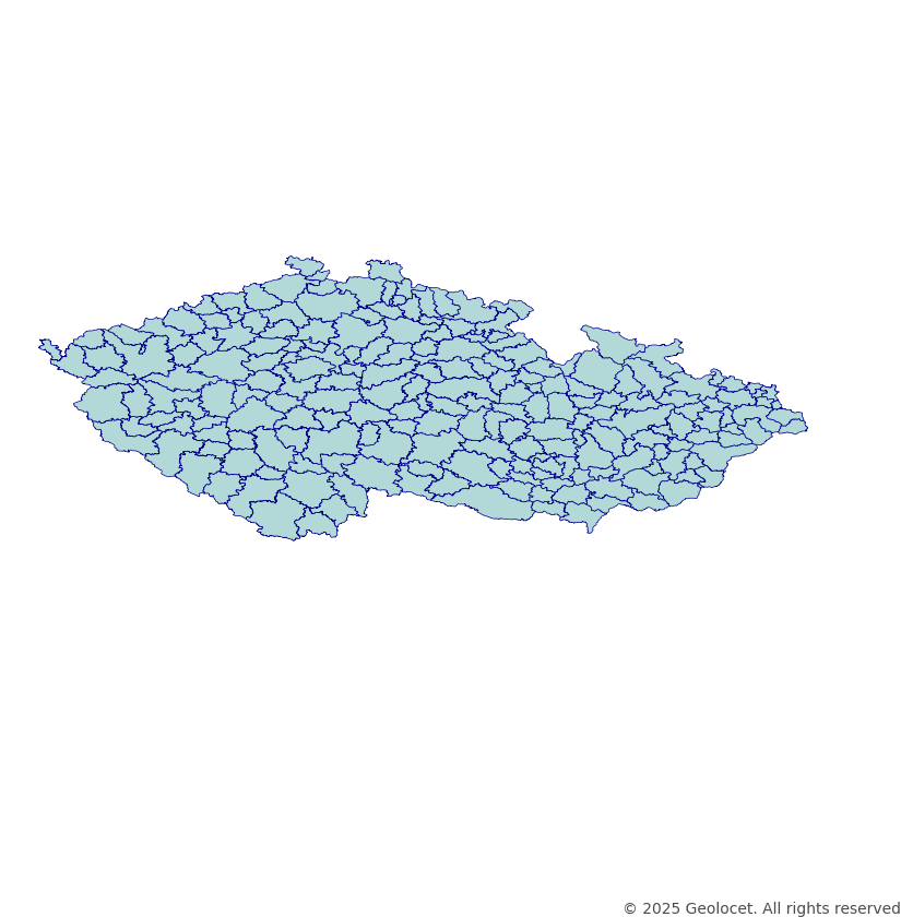
Download the polygons of the Czech Republic's administrative districts of municipalities with extended powers (AD MEP)
Industry-Compliant Formats
Our dataset is rendered in the globally-acknowledged coordinate reference system, EPSG:4326 (WGS84). Ensuring unparalleled precision and compatibility across a spectrum of geospatial applications and analyses, this dataset can be an essential tool for urban planning, research, and intricate GIS applications. The dataset is provided in a Shapefile format.
Continually Updated
Our commitment to accuracy is reflected in our diligent updates, with the last refresh in December 2023, ensuring your projects are empowered by the most recent and precise data regarding Czechia's territorial and political demarcations.
Enhance Your Analysis with Geodemographics
For deeper insights, complement this dataset with our Czechia Geodemographics Dataset with Boundaries, which offers enriched demographic overlays on these same boundaries, perfect for targeted marketing, population studies, and more detailed sociographic analysis.
Your Success, Our Support
If you find yourself in need of alternative formats, unique projections, or are unable to locate the specific territorial divisions your work requires, our expert team is at your service. Contact us at contact@geolocet.com to explore bespoke solutions tailored to your individual geospatial needs.
Navigating the Czech Republic with Confidence
Leverage our dataset to navigate Czech Republic's AD MEP boundaries with confidence and precision, enhancing your projects, analyses, and applications with robust, detailed, and reliable geospatial data.
Discover More About Czech Republic
For broader insights and data offerings related to Czech Republic, including all available products and datasets, visit our dedicated page: Explore data for Czech Republic.