
India Country Administrative Boundaries Dataset
India Country Administrative Boundaries Dataset
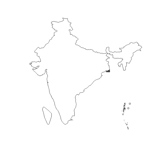
Download the Country Administrative Boundaries of India
Our meticulously crafted dataset contains the political boundaries of India on a Country level.
Industry-Compliant Formats
Our dataset is rendered in the globally-acknowledged coordinate reference system, EPSG:4326 (WGS84). Ensuring unparalleled precision and compatibility across a spectrum of geospatial applications and analyses, this dataset can be an essential tool for urban planning, research, and intricate GIS applications. The dataset is provided in a Shapefile format.
Continually Updated
Our commitment to accuracy is reflected in our diligent updates, with the last refresh in December 2023, ensuring your projects are empowered by the most recent and precise data regarding India's territorial and political demarcations.
Your Success, Our Support
If you find yourself in need of alternative formats, unique projections, or are unable to locate the specific territorial divisions your work requires, our expert team is at your service. Contact us at contact@geolocet.com to explore bespoke solutions tailored to your individual geospatial needs.
Navigating India with Confidence
Leverage our dataset to navigate India's Country-level boundaries with confidence and precision, enhancing your projects, analyses, and applications with robust, detailed, and reliable geospatial data.