
Isle of Man Administrative Divisions Boundaries Dataset
Isle of Man Administrative Divisions Boundaries Dataset
Download the Administrative and Political Boundaries of Isle of Man
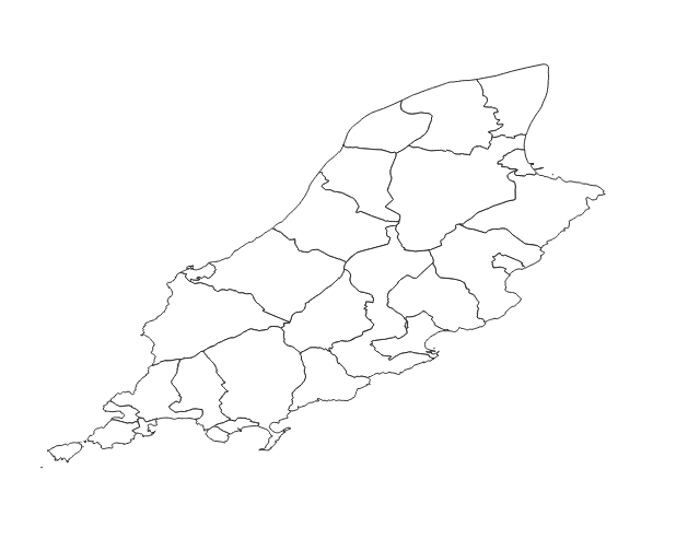
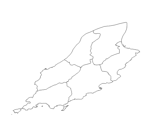
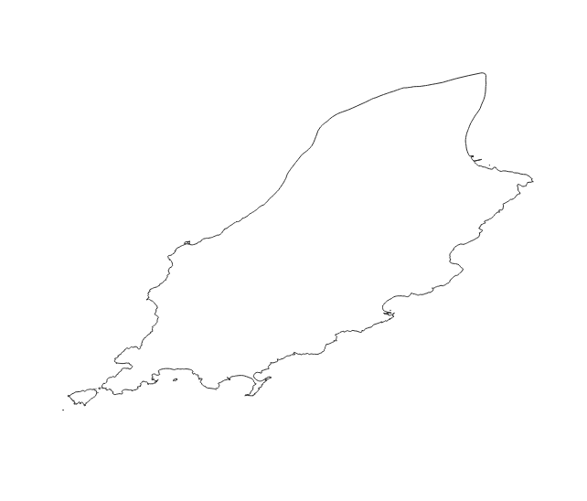
Our diligently crafted dataset is designed to delineate the various administrative boundaries, territorial divisions, and geographical delineations within Isle of Man. Administrative boundaries included:
- Region boundaries,
- Sheading boundaries,
- Parish, city, village boundaries.
Industry-Compliant Formats
The dataset is rendered in the globally-acknowledged coordinate reference system, EPSG:4326 (WGS84). Ensuring unparalleled precision and compatibility across a spectrum of geospatial applications and analyses, this dataset can be an essential tool for urban planning, research, and intricate GIS applications. The dataset is provided in a Shapefile format.
Continually Updated
Our commitment to accuracy is reflected in our diligent updates, with the last refresh in January 2024, ensuring your projects are empowered by the most recent and precise data regarding Isle of Man's territorial and political demarcations.
Your Success, Our Support
If you find yourself in need of alternative formats, unique projections, or are unable to locate the specific territorial divisions your work requires, our expert team is at your service. Contact us at contact@geolocet.com to explore bespoke solutions tailored to your individual geospatial needs.
Leverage Our Data, Elevate Your Projects
Enhance your geographical analyses, derive profound visualizations, and empower your research and development initiatives in Isle of Man with our dataset, providing a comprehensive view into Isle of Man's administrative, geographical, and political landscapes.