
Turkish Republic of Northern Cyprus Sub-districts Administrative Boundaries Dataset
Turkish Republic of Northern Cyprus Sub-districts Administrative Boundaries Dataset
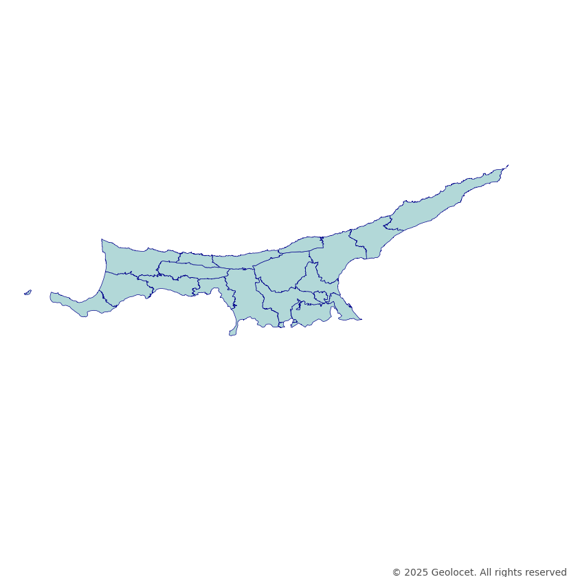
Download the Detailed Administrative Boundaries of Turkish Republic of Northern Cyprus’s Subdistricts
Our meticulously crafted dataset contains the political boundaries of Turkish Republic of Northern Cyprus on Subdistrict level.
GIS-Ready Data in Industry-Standard Formats
Our dataset is rendered in the globally-acknowledged coordinate reference system, EPSG:4326 (WGS84). Ensuring unparalleled precision and compatibility across a spectrum of geospatial applications and analyses, this dataset can be an essential tool for urban planning, research, and intricate GIS applications. The dataset is provided in both GeoJSON and Shapefile formats.
Continually Updated
We prioritize accuracy by updating our datasets regularly. The latest update was in February 2025, ensuring that your projects are powered by the most recent territorial data on Turkish Republic of Northern Cyprus’s administrative boundaries.
Key Dataset Attributes
- id: A unique identifier for each polygon.
- name: The name of the area.
- name_en: The name of the area in English.
- parent_id: A reference linking each polygon to its parent administrative division in the parent level geographical hierarchy. This attribute serves as a connection to the higher-level, administrative boundaries.
Why Choose Our Turkish Republic of Northern Cyprus Administrative Boundaries Dataset?
- Comprehensive political and administrative boundary data.
- Perfect for GIS applications, urban planning, and research.
- Accurate, regularly updated, and compatible with leading software.
- Available in GeoJSON and Shapefile formats.
- Expert support for customization and bespoke solutions.
Navigating Turkish Republic of Northern Cyprus with Confidence
Leverage our dataset to navigate Turkish Republic of Northern Cyprus’s Subdistrict-level boundaries with confidence and precision, enhancing your projects, analyses, and applications with robust, detailed, and reliable geospatial data.