


United Kingdom Census 2021 Boundaries Datasets
United Kingdom Census 2021 Boundaries Datasets
Regular price €50,00 EUR
Regular price €0,00 EUR Sale price €50,00 EUR
Unit price per Download Census 2021 Boundaries of United Kingdom
Our dataset consists of:
- United Kingdom Boundaries
- Output Area Boundaries for England and Wales
- Lower layer Super Output Area Boundaries for England and Wales
- Middle layer Super Output Area Boundaries for England and Wales
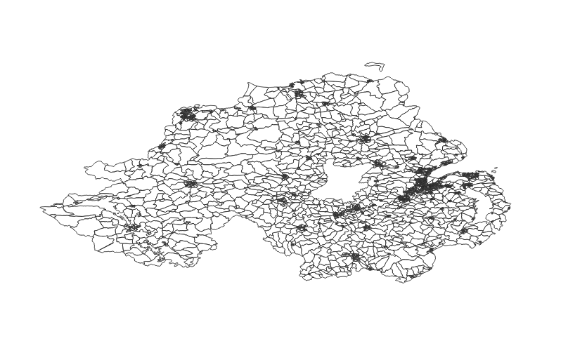
- Data Zone layer for Northern Ireland
- Data Zone layer for Scotland
- Super Data Zone layer for Northern Ireland
- Output Area 2011 to Output Area 2021 to Local Authority District 2022 Lookup for England and Wales
- Scotland Data Zone lookup
Industry-Compliant Formats
Our dataset is rendered in the globally-acknowledged coordinate reference system, EPSG:4326 (WGS84). The dataset is provided in Shapefile format.
Continually Updated
Our commitment to accuracy is reflected in our diligent updates, with the last refresh in November 2023, using ONS Census 2021 polygons.
Your Success, Our Support
If you find yourself in need of alternative formats, unique projections, or are unable to locate the specific territorial divisions your work requires, our expert team is at your service. Contact us at contact@geolocet.com to explore bespoke solutions tailored to your individual geospatial needs.