
Turkey Neighbourhoods (Mahalleler) Boundaries Dataset - Zonguldak
Turkey Neighbourhoods (Mahalleler) Boundaries Dataset - Zonguldak
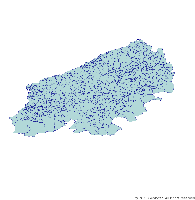
Download the neighbourhood (mahalleler) boundaries for Zonguldak district in a shape file format.
Our meticulously crafted dataset contains the political boundaries of Turkey at the Neighbourhoods and Unincorporated Villages (Mahalleler ve tüzel kişiliği olmayan köyler) level, offering precise territorial insights.
GIS-Ready Data in an Industry-Standard Format
Our dataset is provided in Shapefile format and follows the globally recognised coordinate reference system, EPSG:4326 (WGS84). Each district is a separate dataset, allowing for targeted analysis.
If you require all 81 districts, please contact us for a customised solution.
Continually Updated
We prioritise accuracy through regular updates, with the latest version refreshed in February 2025, ensuring you work with the most up-to-date and precise data.
Comprehensive Administrative Boundaries for the Republic of Türkiye
Looking for additional administrative levels? Explore our Republic of Türkiye All Available Administrative Boundaries product for a complete range of boundary datasets.
Your Success, Our Support
Need a different format, custom projections, or specific territorial divisions? Our team is here to help. Get in touch to discuss tailored solutions for your geospatial needs.
Navigate Turkey with Confidence
Enhance your projects with detailed, reliable geospatial data, ensuring seamless integration and accurate analysis of Turkey’s Neighbourhood-level boundaries.