
Europe Municipal Boundaries - Ready-to-Download GeoPackage
Europe Municipal Boundaries - Ready-to-Download GeoPackage
Regular price €166,67 EUR
Regular price Sale price €166,67 EUR
Unit price per
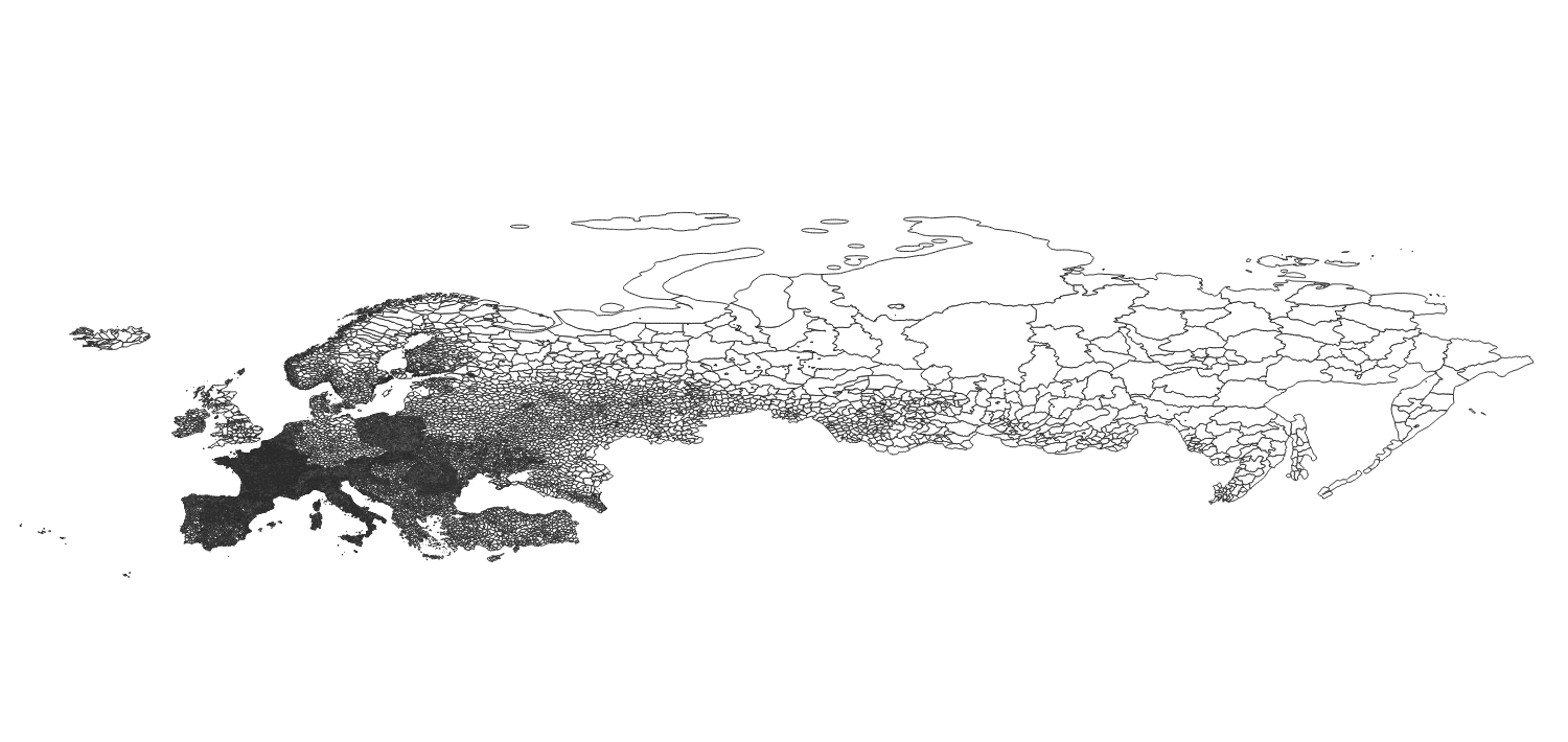
Europe Municipal Boundaries GeoPackage: Comprehensive Digital Mapping Resource
Unlock the power of precision with our Europe Municipal Boundaries polygons, the digital mapping resource designed for seamless integration into your GIS projects. This meticulously crafted dataset encompasses the complete administrative boundaries of all municipalities across Europe.
Product Features:
- Free Sample for Immediate Data Evaluation: Download our sample with a simple click, allowing you to assess the data's compatibility and quality without any commitments.
- Extensive Coverage: Includes all European countries from the rolling hills of Ireland to the vast landscapes of Russia and the dynamic terrains of Turkey. Countries Included - full list could be seen here
- High Precision: Each boundary is carefully digitized, offering high-resolution data that captures the intricate details of municipal layouts across Europe.
- Easy Integration: Formatted for compatibility with leading Geographic Information Systems (GIS), enabling straightforward integration into your existing projects and workflows.
- Up-to-Date Information: Compiled using the latest available data to ensure accuracy and relevance, making it an indispensable tool for contemporary analysis.
Technical Specifications:
- File Format: Geopackage (.gpkg)
- Spatial Reference: WGS 84
- Resolution: High-precision vector data
- Attributes: country name, municipality name, alternative name, short name, local name, polygon
- Update Date: 9th April 2024
- Source: OSM (OpenStreetMap) Contributors
Purchase Now and embark on a journey of discovery, analysis, and innovation with the most detailed and comprehensive European municipality boundaries shapefile available on the market.
Countries Included


